
Public Land &
Natural Resources
Southwest Montana offers more publicly accessible land than virtually anywhere else in the lower 48. Here is what that means for residents and buyers in Gallatin, Park, and Madison counties.
Southwest Montana, particularly around Gallatin, Park, and Madison counties, attracts residents for a multitude of reasons. For those who love the outdoors and a slower pace of life, few places in the country compare.
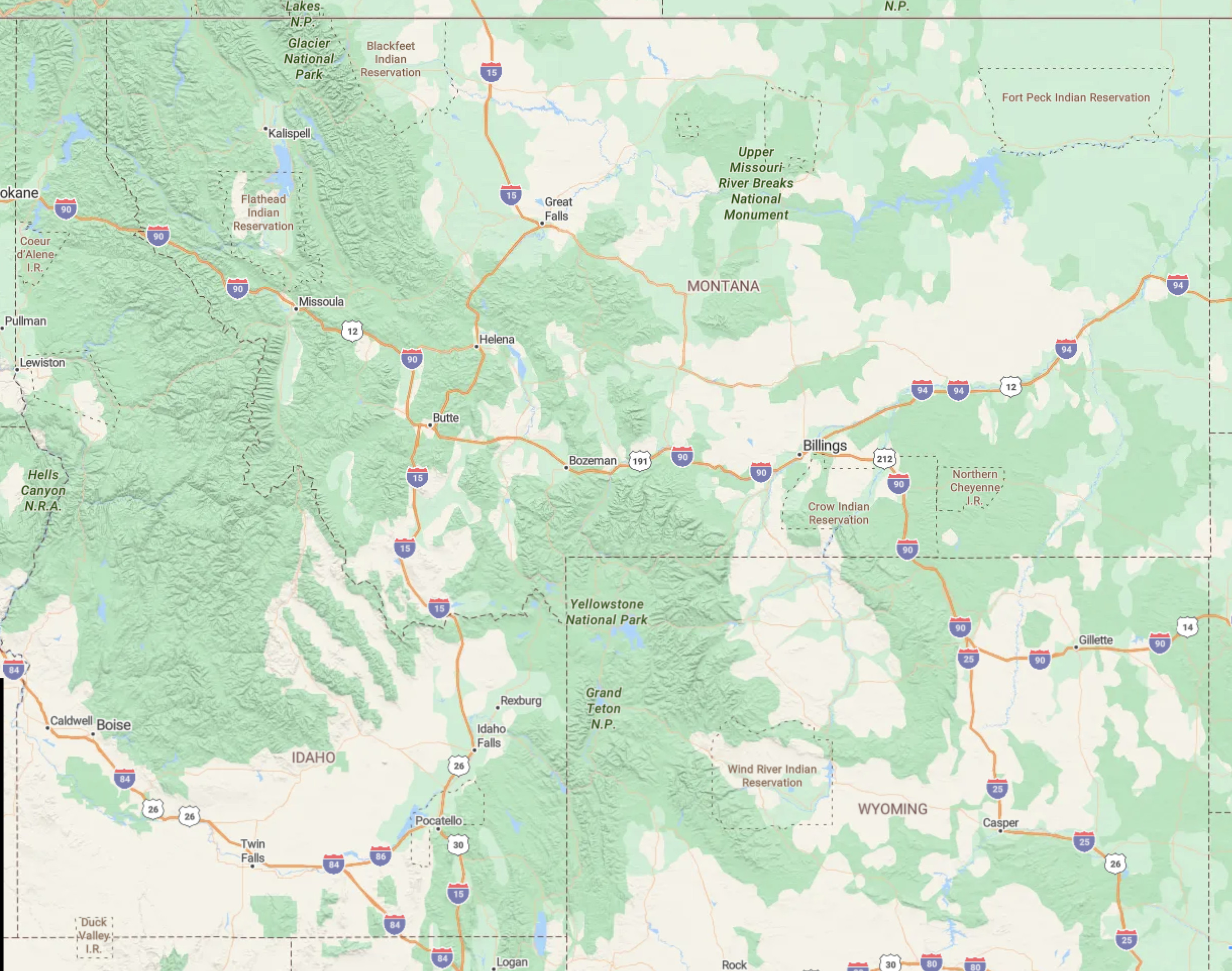
According to the Congressional Research Service, 62.5% of Montana’s land is publicly owned, making it the most publicly accessible state in the lower 48. Southwest Montana reflects that reality with a particularly high percentage of public land. The region also borders Yellowstone National Park at 2.3 million acres, and when combined with adjacent public land in Wyoming and Idaho, the result is a vast connected landscape offering exceptional outdoor recreation and wildlife viewing opportunities.
Public land by county
The three counties that make up the core of southwest Montana each contain a significant share of publicly owned land, giving residents direct access to wilderness, trails, rivers, and open space.
Gallatin
Public land
Park
Public land
Madison
Public land
Rivers and mountain ranges
Southwest Montana is nationally recognized for its blue-ribbon trout streams and its dramatic mountain terrain. The rivers and ranges listed below represent some of the finest outdoor recreation country in North America.
Blue-ribbon rivers
- Missouri River
- Yellowstone River
- Gallatin River
- Madison River
- Jefferson River
- Ruby River
- Big Hole River
- Beaverhead River
- Bitterroot River
- Blackfoot River
- Clark Fork River
Mountain ranges
- Gallatin Range (including the Hyalites)
- Bridger Range
- Spanish Peaks
- Beartooth Mountains
- Absaroka Range
- Crazy Mountains
- Gravelly Range
- Tobacco Root Mountains
- Highland Mountains
Thinking about making the move?